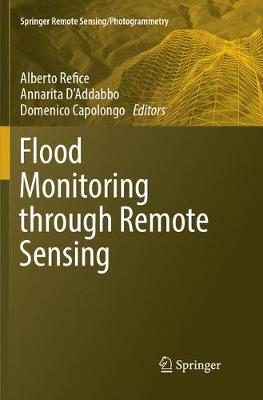
Flood Monitoring through Remote Sensing
 -15%
portes grátis
Flood Monitoring through Remote Sensing
Refice, Alberto; D'Addabbo, Annarita; Capolongo, Domenico
Springer International Publishing AG
08/2018
209
Mole
Inglês
9783319876825
15 a 20 dias
454
Descrição não disponível.
Chapter1. Methods, techniques and sensors for precision flood monitoring through remote sensing.-Chapter2. Remote sensing as a tool for analysing channel dynamics and geomorphic effects of floods.- Chapter3. The use of DEM-based approaches to derive a priori information on flood-prone areas.- Chapter4. River Flood Forecasting System: An Intedisciplinary Approach.- Chapter5. Monitoring flood extent and area through multi-sensor, multi-temporal remote sensing: the Strymonas (Greece) river flood.- Chapter6. Adaptive SAR image processing techniques to support flood monitoring from Earth Observation data.- Chapter7. -Flood Mapping in Vegetated and Urban Areas and other Challenges: Models and Methods.- Chapter8. Data fusion through Bayesian methods for flood monitoring from remotely sensed data.
Este título pertence ao(s) assunto(s) indicados(s). Para ver outros títulos clique no assunto desejado.
Synthetic Aperture Radar;Land Cover Mapping;Flood Hazardous Areas;Radar Sensors;Hydrological Models;Inundation Mapping;remote sensing/photogrammetry;water policy
Chapter1. Methods, techniques and sensors for precision flood monitoring through remote sensing.-Chapter2. Remote sensing as a tool for analysing channel dynamics and geomorphic effects of floods.- Chapter3. The use of DEM-based approaches to derive a priori information on flood-prone areas.- Chapter4. River Flood Forecasting System: An Intedisciplinary Approach.- Chapter5. Monitoring flood extent and area through multi-sensor, multi-temporal remote sensing: the Strymonas (Greece) river flood.- Chapter6. Adaptive SAR image processing techniques to support flood monitoring from Earth Observation data.- Chapter7. -Flood Mapping in Vegetated and Urban Areas and other Challenges: Models and Methods.- Chapter8. Data fusion through Bayesian methods for flood monitoring from remotely sensed data.
Este título pertence ao(s) assunto(s) indicados(s). Para ver outros títulos clique no assunto desejado.


